
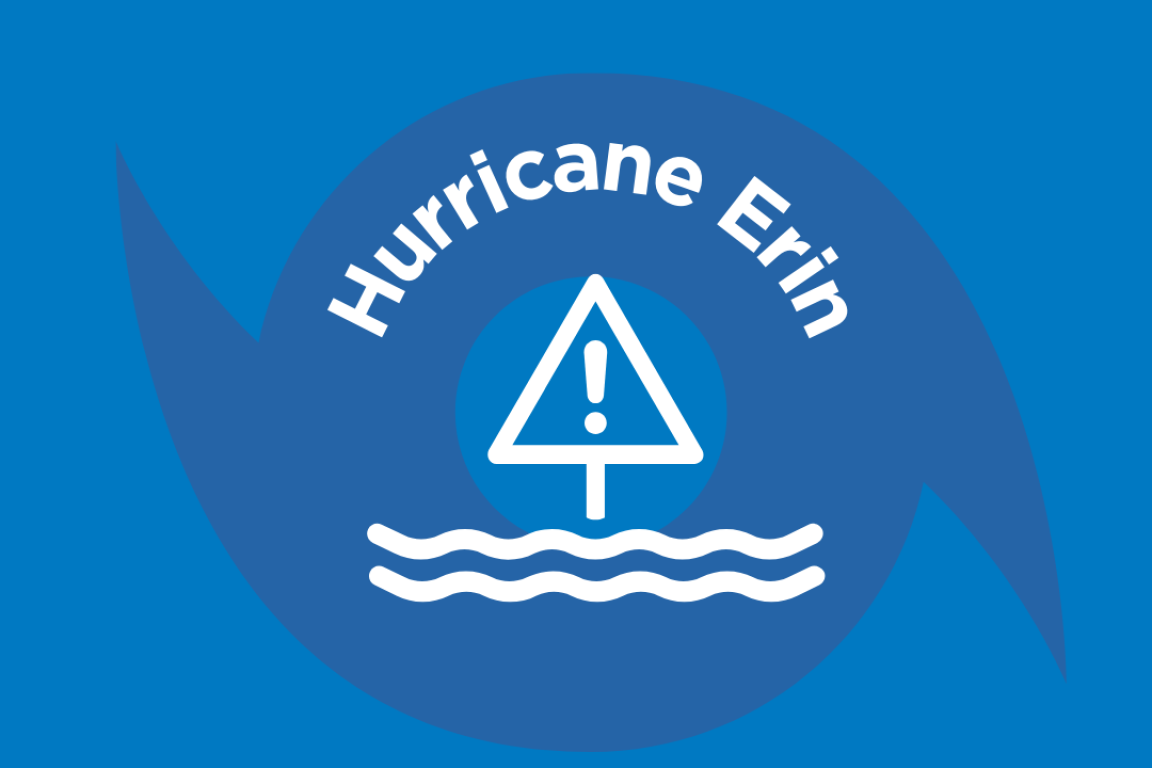
Hurricane Erin is a major hurricane and forecast to turn north/northeast Tuesday before turning northeast by Thursday. Despite small fluctuations in intensity, Erin will remain a large storm as it tracks offshore bringing dangerous surf, large waves, storm surge, and extensive coastal flooding to the coast beginning Tuesday and peaking Wednesday-Thursday. A Tropical Storm Watch is in effect for portions of coastal NC where winds up to 35-45mph are forecast and wind gusts 50-55mph are possible. A Storm Surge Watch is also in effect along portions of the NC coast with the greatest surge (up to 4ft.) from Cape Lookout to Duck. Dangerous rip current across the NC coast will also remain a threat through the week. Conditions will slowly improve Friday into the weekend as Erin pulls away from the US coast.


Crisis Cleanup
If you need help cleaning up damage from Hurricane Erin, call Crisis Cleanup at (910) 218-1569 to ask for help. They can connect you with volunteers from local relief organizations, community groups and faith communities who may be able to assist with: Muck Out, Debris, and Tarps. All services are free, but service is not guaranteed due to the overwhelming need. This hotline will remain open through Friday, September 5, 2025.
This hotline CANNOT assist with social services such as food, clothing, shelter, insurance, or questions about FEMA registration. Volunteers work free of charge and provide the tools and equipment necessary to complete the work.
Resources Responding to Hurricane Erin
Currently, NC Emergency Management has deployed the following resources to northeastern North Carolina in response to Hurricane Erin:
Swift Water Rescue (SWR)
- NC Marine Patrol deployed a 12-person team
- NC Wildlife deployed a 14-person team
- Wake Forest Fire deployed a 12-person team
Urban Search and Rescue (USAR)
- NC Task Force-2 deployed a 22-person team
- NC Task Force-3 deployed a 22-person team
- NC Task Force-6 deployed a 22-person team
Press Releases
- Aug. 18, 2025: State Emergency Management Officials Prepare for Hurricane Erin
- Aug. 19, 2025: State Operated Shelter Open in Warrenton for Hurricane Erin Evacuees
- Aug. 19, 2025: Governor Stein Declares State of Emergency Ahead of Hurricane Erin: Gov. Stein to Brief Media Tomorrow at 10:15 AM
- Aug. 20, 2025: Governor Stein and Emergency Management Officials Provide Updates on Hurricane Erin
- Aug. 21, 2025: Governor Stein Provides Updates on Hurricane Erin Response