Stay Off the Ice
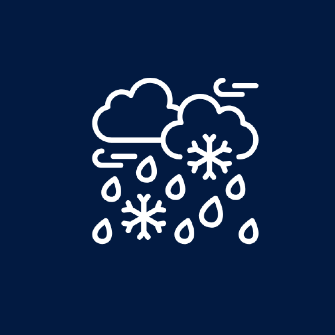
With the extended period of cold temperatures, some bodies of water have a thin layer of ice on top of the water. Please talk to your children about staying off the ice. While it is beautiful to look at, it can be deadly for people and their pets if you venture onto the ice. It cannot hold your weight.
Remember to always use your best judgment when out and about in the ice and snow.
Visit the links below to learn more about being prepared and other important information.
What You Can Do
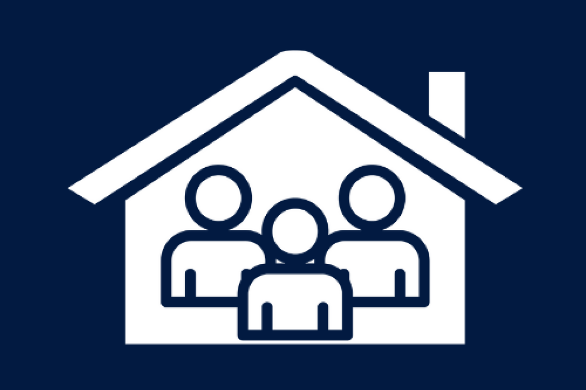
Emergency management officials encourage people to stay home and off the roads during winter events such as an ice or snowstorm. Roadway conditions will likely deteriorate and staying off the roads allows first responders, the NC Department of Transportation, the NC National Guard, and the NC State Highway Patrol to work safer to clear roads and to respond to emergencies.
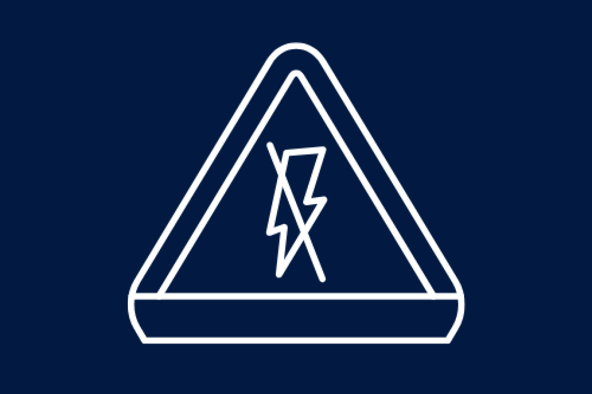
- Power outages may occur during an ice or snow event, and all North Carolinians should be prepared. Have a plan for how you will stay warm should you lose power.
- Your plan should be finalized before the event.
- Make sure you are stocked up on food and water for several days as the roads may be in rough shape for a while given the cold temperatures. Pull out the disaster kit one more time and check it over.
The safest thing to do is stay home. If you must travel, remember these safety tips:
- Slow down before curves and turns, keeping it slow overall.
- Leave several car lengths between you and the car ahead.
- Turn off Cruise Control and keep both hands on the wheel.
- Look out for shiny, wet-looking patches especially in shaded areas and on bridges.
- Take your foot off the gas.
- Avoid slamming the brakes.
- Steer with the skid.
- If just sliding, keep the wheel pointed straight ahead.
- Steer towards snow or rougher surfaces if possible.
With the extreme cold settling in this evening remember to avoid Hypothermia with these recommended actions:
- Move to a warm room.
- Warm the core first: chest, neck, head, and groin.
- Stay dry and wrap in blankets, covering the head and neck.
Frostbite causes numbness and discoloration in the face, fingers, and toes, with signs like white or grayish-yellow, firm, or waxy skin. Treatment includes:
- Moving to a warm room
- Soaking in warm water
- Using body heat to warm affected areas
- Avoid massaging or heating pads.
The Centers for Disease Control and Prevention reports that about 1 million U.S. adults are injured due to slips and falls every year, with the injury rate increasing significantly as temperatures decline. Remember to always use your best judgment when out and about in the ice and snow.
- Stay inside: On days when it is icy and you do not need to go anywhere, stay inside.
- Falls are unexpected, but there are a few ways to decrease your risk of falling:
- Wear proper footwear: Be sure you have a pair of lightweight boots with good support. You also can purchase snow grips for the bottoms of your shoes or boots.
- Take your time: Do not hurry while walking outside. Pay attention to your steps and walk slowly.
- Use assistance: Always use handrails, a walking stick, your walker or cane when out in winter weather.
- Take small steps: Small steps, almost from side to side, help you maintain your center of gravity. Take small steps and waddle a bit like a penguin.
If you do feel yourself falling, don't try to catch yourself with your arms. That can lead to more injuries. Try to take the hit on your buttock or back. After a fall, wait for someone to help you in case you are injured or to avoid subsequent falls. Some people further injure themselves by springing up after a fall instead of waiting for help.
- Keep burnable items at least three feet away from heating equipment.
- Maintain a three-foot, kid-free zone around fires and space heaters.
- Never use ovens for home heating.
- Turn off portable heaters when leaving the room or going to bed.
- Make sure fuel-burning equipment is vented to the outside to avoid carbon monoxide (CO) poisoning.
- Use a sturdy screen for fireplaces and allow ashes to cool before disposal in a safe container away from the home.